
If you’re from out of town and thinking about renting a car to get around New Orleans during Mardi Gras, consider relying instead on your smartphone. Tips on getting where you need to go with help from a few essential apps.
Getting around during Mardi Gras in New Orleans
Traffic can gridlock around parade routes and construction zones. It’s hard to find deals on rental cars, and parking rates downtown and in the French Quarter get jacked up. Parking enforcement — not just tickets but towing and booting — is ruthless. Parades disrupt service on bus and streetcar lines. And it can seem like the odds are stacked against you when trying to hail a taxi cab.
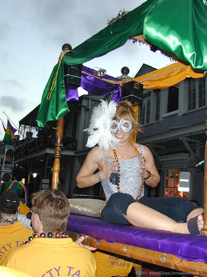
Riding the deluxe Titty Taxi on Fat Tuesday 2001
The average Mardi Gras reveler, alas, has to rely on more prosaic means of transportation.
F’sure, getting around New Orleans during Mardi Gras has always been fraught.
But thanks to ride-sharing and public transit apps, plus a new streetcar line, it’s never been easier to get by in New Orleans without having a car. Both Uber and Lyft operate in the metro area, making it possible to summon rides in minutes at the tap of a button on a smartphone. No need to plan ahead. Just download the apps to your phone and create an account linked to a payment method. Payment is automatic through the app.
Uber versus Lyft
Uber serves all neighborhoods in Orleans Parish, including Algiers and New Orleans East, and does drop-offs and pickups to and from the Louis Armstrong International airport (MSY) in Jefferson Parish. (Lyft has a similar footprint but currently does not offer airport service.) Uber’s base service is UberX, which can accommodate up to four passengers in a typical sedan. UberXL can accommodate up to six passengers in an SUV. The Lyft equivalent to UberXL is called Lyft Plus.
Ridesharing rates are generally less than taxicab rates, although pricing is demand-sensitive. The idea is to encourage drivers to drive in areas and at times with higher-than-normal demand.
On Uber, so-called “Surge Pricing” kicks in during times of elevated demand in particular zones. The app will alert users to whether they are in a zone where surge pricing is in effect before they summon a ride. If rates have risen more than one and a half times the regular amount, passengers have the option to approve the new price multiplier to get a ride. They can also get a trip-cost estimate before connecting with a driver.
The Lyft’s version of Surge Pricing is called Prime Time Pricing — an additional percentage applied on top of the base ride amount. The exact percentage is shown prior to requesting a ride, based on a user’s location. The Prime Time notification is shown in the center of the Lyft app’s initial request screen, and a pop-up notification with the added percentage before you confirm your ride request.
Note: Lyft’s Prime Time zones are generally smaller than Uber’s Surge zones. So with Lyft, it’s easier to walk a couple of blocks to avoid demand-sensitive pricing.
During Mardi Gras, avoid requesting pick-ups in heavily trafficked areas — i.e., like tourist zones in the French Quarter, in the entertainment district along on Frenchmen Street at night, or where there’s a lot of congestion because of parades. You can pinpoint your location on the apps to a different address close by and then call the driver to tell him or her where you are. Drivers are more apt to accept your pick-up request if you’re not at a location where traffic is moving at a snail’s pace.
Taxicabs
When it comes to taxicabs, New Orleans isn’t like Manhattan. You can’t just walk out onto most any street corner and expect to flag a cab. Sure, you can get lucky. And there are taxi stands at major hotels and Harrah’s Casino. But unless you’re in the vicinity of the French Quarter, you’re often better off calling for a cab or summoning one via an app. Also note that in New Orleans, bartenders are accustomed to calling cabs for customers.
United Cabs serves the metro New Orleans area with an extensive fleet. Phone 504-522-9771 or 504-524-9606. Save one or both of these numbers in your phone, or write them down on a piece of paper to keep handy.
Better yet, for requesting service with the touch of a button. download the free United Cabs app from Google Play or Apple’s App Store.
Need food picked up from a restaurant? United will pay for and pick up an order from any restaurant offering take-out service, and collect upon delivery. Call ahead for service. Likewise, United will pick up and deliver medical prescription and even a short list of groceries.
Public Transportation
The New Orleans Regional Transportation Authority has greatly improved its technology, making public transportation more attractive to riders. Visit RTA’s website to learn about options for buying passes or to view maps, obtain service alerts, rider advisories and holiday schedules. The site also offers a convenient Trip Planner for obtaining optimized routing.
Click here for the RTA’s Mardi Gras 2017 Schedule, including detour maps and details of service changes in effect for specific parades. All detours are in effect starting two hours before a parade begins until the parade is clear of the transit route.
The fare for buses and streetcars is $1.25 ($1.50 for Express busses), with transfers available upon boarding for an additional 25 cents. Transfers are valid for two hours for connecting streetcar and bus lines, not return trips. For pricing and options for buying Jazzy Passes — citywide one-day and multi-day unlimited ride passes — go here.
Smartphone users can download RTA’s GoMobile app for purchasing Jazzy Passes (bus and streetcar), Ferry Passes and Integrated Passes (bus, streetcar and ferry). One-, three- and five-day Jazzy passes are $3, $9 and $15, respectively, not including a small convenience fee. GoMobile lets users choose and save your favorite routes, stops and ride times. The system map will automatically show your favorite bus and streetcar lines when you’re logged in. Users can also sign up to receive alert notifications via email if your ride is caught in traffic or running late. Coming soon: alert notifications via text.
![]()
WDSU’s Transit Tracker app
Providing real-time GPS data showing the locations of RTA busses and streetcars in New Orleans.
Another essential app is the WDSU Transit Tracker, from the same folks who provide the much-loved WDSU Parade Tracker app. The Transit Tracker utilizes real-time GPS data provided by the RTA, so that you never have to guess how far away the bus or streetcar is from your stop. Covering all RTA routes in Orleans Parish and continuously updating every 30 seconds, the app shows the location of every vehicle, how fast it’s traveling and its direction.
In addition to bus service, there are five streetcar lines in New Orleans — St. Charles, Riverfront, Canal – Cemeteries, Canal – City Park/Museum and Rampart-St. Claude, which went into service in October 2016. The historic St. Charles Avenue streetcar line operates along a 13.6-mile route that takes about 40 minutes to ride from end to end. Outbound/uptown service begins at the intersection of Canal Street and Carondelet Street — Carondelet being the uptown continuation of Bourbon Street. Inbound/downtown service originates at the intersection of South Carrollton Ave. and South Claiborne Ave.
During Mardi Gras, service on the St. Charles and Canal streetcar lines shuts down to accommodate parades. When parades are rolling on the uptown route, St. Charles service typically stops approximately two hours before the start of the first scheduled parade. Streetcars on the Canal line go out of service approximately an hour and a half after the start of the first scheduled parade on the uptown route.
On Fat Tuesday, while streetcars do run along the Riverbend section of the St. Charles line between South Claiborne and Napoleon Ave., there is no service between Napoleon and Carondelet. There is no service on the Canal line on Fat Tuesday. There is, however, regular service on the Riverfront line.
During the height of the Carnival parade season, bus service is often the most convenient and reliable way to commute between uptown and downtown — specifically, the Magazine Street (#11) and Tchoupitoulas Street (#10) buses. Although the S. Claiborne Ave. (#16) bus also runs between uptown and downtown, routes are subject to change when parades are rolling.
If you’re near the Mississippi, the Riverfront streetcar is a good way to commute to and from the Central Business District (CBD) or Warehouse Arts District, upriver from Canal Street, to the French Market at Esplanade Ave., with stops in between along the French Quarter section of the riverfront. If you’re not close to the river, consider the Rampart-St. Claude streetcar for getting from CBD or Warehouse Arts District to Faubourg Marigny, downriver from the French Quarter.
The Canal Street streetcar can be boarded at the French Market/Esplanade Ave. stop on the Riverfront line. It proceeds to Canal Street, then heads up Canal heading away from the river toward North Carrollton Ave. The Cemeteries train on the Canal line runs past North Carrollton all the way to City Park Ave. and the Canal Street cemeteries. The City Park/Museum trains turn off Canal onto North Carrollton and reaches the end of the line at the nexus of Esplanade Ave., City Park and the New Orleans Museum of Art. The new Rampart-St. Claude line runs from Elysian Fields Avenue past Canal Street to the Union Passenger Terminal (Greyhound and Amtrack) on Calliope Street.
MardiGrasTraditions.com